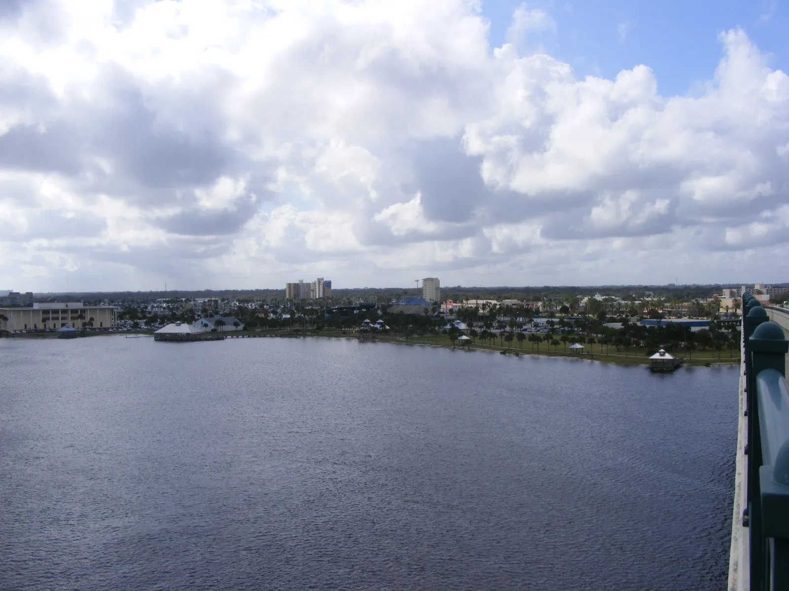
Daytona Beach walking and biking trails: the Sweetheart Trail on the East Coast Greenway, the mile-long Riverfront Esplanade, park loops and a preserve nearby.
Last checked Oct. 8, 2026. Facts on this page come from the City of Daytona Beach Sweetheart Trail and parks pages, the Riverfront Esplanade and Volusia County trails, linked.
Daytona Beach’s main walking and biking route is the Sweetheart Trail, a traffic-free path along the Halifax River that carries the East Coast Greenway through the city. In the middle of it, the Riverfront Esplanade adds more than a mile of landscaped riverfront path. City parks have shorter walking loops, and a large county preserve with a boardwalk and nature trails is in Port Orange, to the south.
Good to know
- City parks: Parks & Recreation, 386-671-8250
- Esplanade ranger station: 249 N. Beach St.; 386-882-2731
- County trails and maps: Volusia County trails, 386-736-2700
- Report a trail problem in the city: SeeClickFix
The routes
| Route | Where it runs | Length | Use | Hours |
|---|---|---|---|---|
| Sweetheart Trail | Sickler Park under the Seabreeze Bridge, south along Beach Street to Beville Road | City section of the 2,900-mile East Coast Greenway | Walk, run, bike | Open path |
| Riverfront Esplanade | Beach Street, Orange Avenue to Main Street | More than 1 mile | Walk, run, bike | North side sunrise to sunset; south side to 9 p.m. |
| Tuscawilla Park | 1000 Orange Ave. | Nearly 30-acre park | Fitness trails | Park hours |
| Derbyshire Sports Complex | 849 Derbyshire Road | 32-acre park | Walking trails | Sunrise to sunset |
| Cypress Park | 981 George W. Engram Blvd. | Neighborhood park | Walking trail | Dawn to dusk |
| Lenox Park | 825 S. Grandview Ave. | Neighborhood park | Walking path | Park hours |
| Halifax Harbor Park | 401 S. Beach St. | 60-acre marina park | Walking paths | Sunrise to sunset |
Sweetheart Trail
The Sweetheart Trail is a multi-use pathway for traffic-free travel along the Halifax River and is part of Daytona Beach’s section of the East Coast Greenway, the 2,900-mile shared-use trail from Calais, Maine, to Key West, according to the city. It enters the city at Sickler Park, under the Seabreeze Bridge, follows the Beach Street sidewalk and continues south to Beville Road. The city built it largely on existing sidewalks with state grants. A trail map is on the city’s site.
The name comes from the Sweetheart, a 75-foot yacht built of cypress and pine on City Island in 1898 for Charles and Mary Burgoyne, who often had breakfast aboard on the river.
Parking: free public lots behind the Beach Street shops downtown (parking map); and Halifax Harbor Park, 401 S. Beach St., to the south.
Riverfront Esplanade
The Esplanade runs along North and South Beach Street between Orange Avenue and Main Street: more than a mile of waterfront running path, benches and swings over the Halifax River, a botanical garden, a dog park and a splash pad. The north side, Main Street to International Speedway Boulevard, is open sunrise to sunset; the south side, International Speedway Boulevard to Orange Avenue, is open sunrise to 9 p.m., according to the Esplanade.
Rules: bicycles are welcome; no motorized vehicles or skateboards; keep pets on a leash; no alcohol or tobacco; fishing in marked areas only (rules of conduct).
Nearby: Doris Leeper Spruce Creek Preserve
Volusia County’s Doris Leeper Spruce Creek Preserve covers 2,513 acres in Port Orange, south of the city. A 536-foot boardwalk leads to more than three miles of nature trails, a 15-foot observation tower over the Spruce Creek marsh and Rose Bay. Hiking, biking and horseback riding are allowed; the preserve is open sunrise to sunset. Entrances with parking include 1755 Martin’s Dairy Road and 6171 S. Ridgewood Ave. in Port Orange, according to the county.
The county’s longer regional trails, including the Spring-to-Spring Trail and the East Central Regional Rail Trail, are mapped on its showcase trails page.
Safety
- Ride with traffic on streets and yield to walkers on shared paths.
- Carry water in the heat.
- Check the National Weather Service forecast for afternoon thunderstorms in summer.
What this means for you
- For a long ride, take the Sweetheart Trail from Sickler Park south along Beach Street.
- For an evening walk, the south side of the Esplanade stays open until 9 p.m.
- For nature trails, drive to Spruce Creek Preserve near Port Orange.
Related: parks and trails, dog-friendly Daytona Beach and getting around.
Frequently asked questions
What is the Sweetheart Trail in Daytona Beach?
A traffic-free multi-use path along the Halifax River that forms the city’s section of the East Coast Greenway. It enters the city at Sickler Park under the Seabreeze Bridge, follows Beach Street and continues south to Beville Road.
How long is the Riverfront Esplanade?
More than a mile of waterfront path along Beach Street between Orange Avenue and Main Street. The north side is open sunrise to sunset and the south side until 9 p.m.
Can you ride a bike on the Riverfront Esplanade?
Yes. Bicycles are welcome on the Esplanade; motorized vehicles and skateboards are not, according to its rules of conduct.
Where can I hike near Daytona Beach?
Doris Leeper Spruce Creek Preserve, a 2,513-acre Volusia County preserve near Port Orange, has a 536-foot boardwalk, more than three miles of nature trails and a 15-foot observation tower. It is open sunrise to sunset.
Have your say