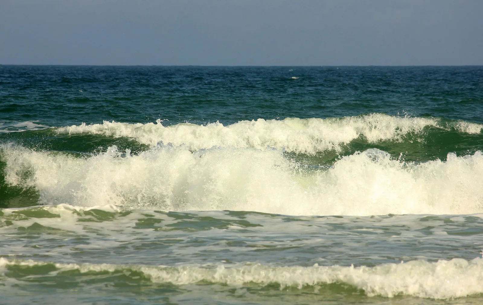
Significant coastal flooding is expected in coastal Volusia through 8 p.m. Monday, with 7- to 11-foot surf. Here are the high tides to plan around.
A coastal flood warning is in effect for coastal Volusia County from 2 a.m. Sunday until 8 p.m. Monday. The National Weather Service in Melbourne expects “significant coastal flooding” in Daytona Beach and along the rest of the county’s coast.
The weather service issued the alerts at 3:35 p.m. Saturday. Its coastal hazard message for coastal Volusia lists four at once:
| Alert | What the weather service expects | Until |
|---|---|---|
| Coastal flood advisory | Minor coastal flooding | 2 a.m. Sunday |
| Coastal flood warning | Significant coastal flooding | 8 p.m. Monday |
| High surf advisory | Breaking waves of 7 to 11 feet in the surf zone | 8 p.m. Monday |
| High rip current risk | Dangerous rip currents | Monday evening |
A separate wind advisory runs until 8 p.m. Sunday. It calls for northeast winds of 15 to 25 mph, with gusts up to 35 mph.
A warning is a step up from a watch or an advisory. It means the flooding is happening or about to happen.
What the weather service says could flood
“Coastal roads may be closed,” the warning says. It also says “low lying property including homes, businesses and some critical infrastructure will be inundated.”
The weather service expects “significant shoreline erosion” as well. The wind advisory warns that tree limbs could come down and “a few power outages may result.”
The Daytona Beach forecast calls for:
- Sunday: north-northeast wind around 20 mph, gusts to 35 mph, and a 60% chance of showers and storms.
- Sunday night: gusts to 35 mph and a 70% chance of showers and storms, with a quarter to half an inch of rain possible.
- Monday: northeast wind of 15 to 20 mph, gusts to 35 mph, and a 50% chance of showers.
- Tuesday: sunny, with northeast gusts to 30 mph.
No storm is behind it. The National Hurricane Center’s 8 p.m. Saturday outlook said tropical cyclone formation is not expected in the next seven days.
When the water is highest
Tidal flooding peaks around high tide. These are the predicted high tides at NOAA’s Daytona Beach Shores station, on the ocean about seven miles south:
| Day | High tide | Height above mean lower low water |
|---|---|---|
| Sunday, Oct. 25 | 7:37 a.m. | 4.8 feet |
| Sunday, Oct. 25 | 8 p.m. | 4.4 feet |
| Monday, Oct. 26 | 8:25 a.m. | 5 feet |
| Monday, Oct. 26 | 8:47 p.m. | 4.3 feet |
These are astronomical predictions. The wind and surf can push the water higher than the table shows.
The Halifax River runs later than the ocean. On Saturday the river gauge at Port Orange peaked at 9:30 a.m. That was about two and a half hours after the predicted ocean high tide of 6:51 a.m.
What the river gauge showed
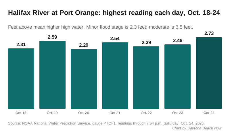
The Halifax River has been at or above minor flood stage every day for a week. The nearest working gauge is Halifax River at Port Orange, about seven miles south. The gauge at the Main Street Bridge in Daytona Beach is listed as out of service.
At Port Orange, minor flood stage is 2.3 feet above the average higher high tide. Moderate is 3.5 feet. The highest readings each day on NOAA’s National Water Prediction Service were:
- Sunday, Oct. 18: 2.31 feet
- Monday, Oct. 19: 2.59 feet
- Tuesday, Oct. 20: 2.29 feet
- Wednesday, Oct. 21: 2.54 feet
- Thursday, Oct. 22: 2.39 feet
- Friday, Oct. 23: 2.46 feet
- Saturday, Oct. 24: 2.73 feet, at 9:30 a.m., the highest of the week
The evening tide was still rising at 7:54 p.m. Saturday, when the gauge read 2.54 feet.
What it means for you
- Stay out of the ocean. “Swimmers should remain out of the water due to large breaking waves and dangerous surf conditions,” the weather service said. Follow lifeguards, beach flags and signs.
- If a rip current catches you, relax and float, and do not swim against it. Swim parallel to the shoreline if you can. If you cannot, face the shore and call or wave for help.
- On the road, expect water on low streets near the river and on beachside roads around high tide. “Do not drive around barricades or through water of unknown depth,” the weather service said.
- Beach driving: check the Volusia Beaches app or the county’s beach page before you drive onto the sand. The Silver Beach ramp is already closed for rebuilding.
- Secure outdoor objects before the gusts, the wind advisory says.
Road closures we can confirm go on our road construction and closures page. For outages, see our power outages page. Our hurricane prep page explains how to find your flood zone.
Have your say