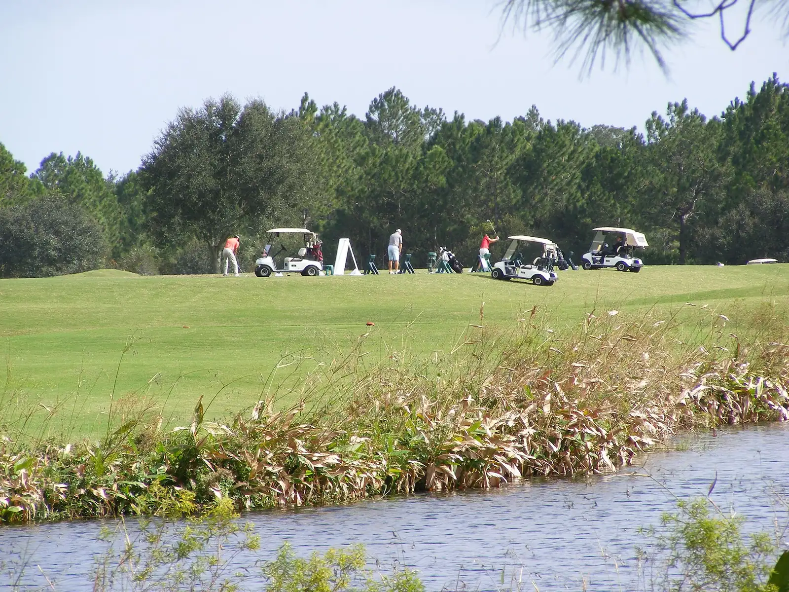
The LPGA Boulevard area west of I-95 is Daytona Beach's growth frontier. ZIP 32124; zoned for Champion, Hinson and Mainland; typical value $436,178.
Last checked Oct. 8, 2026. Sources: the City of Daytona Beach 2045 Comprehensive Plan (PDF) and planning map layers, Volusia County Schools attendance maps, Zillow Research, Votran and OpenStreetMap.
West of I-95, Daytona Beach stretches along LPGA Boulevard and International Speedway Boulevard toward the Tomoka River and the Tiger Bay State Forest. The city’s plan treats it as the land for the city’s long-range growth and splits it into three planning neighborhoods; this page covers all three.
What this means for you
- Zoned high school: Mainland High for every address.
- Home value: $436,178 in ZIP 32124 in August 2026, according to the Zillow Home Value Index.
- Nearest I-95 exit: 265, LPGA Boulevard, about 2.6 miles by road.
Part of our Daytona Beach neighborhoods guide.
Where it is
This page follows Neighborhoods T, U and V on the city’s planning map layers: the city west of I-95, from the Ormond Beach line near State Road 40 south past International Speedway Boulevard. LPGA Boulevard, Tymber Creek Road, Tomoka Farms Road, Dunn Avenue and International Speedway Boulevard are the main roads.
The city’s comprehensive plan says:
- “LPGA Boulevard is a major arterial and a Gateway into the City,” with a 50-foot scenic setback. Land along it is suited for mixed uses: light industry, offices, hotels, apartments up to 25 units an acre and shops.
- Wetlands along the Tomoka River are “high value environmentally sensitive wetlands and should be protected.”
- A 141-acre property known as Legends Preserve, northeast of Thayer Canal and LPGA Boulevard, is limited to four homes an acre, and the 61-acre Tymber Creek Planned District to 250,000 square feet of commercial space.
- A 4,318-acre planning area with frontage on LPGA Boulevard, State Road 40 and I-95 is to be built as one or more planned unit developments “at a rate determined by real market demand.”
- Farther west, Neighborhood V “is intended to provide land to support the long range growth and urbanization of the City of Daytona Beach into the mid 21st Century.” The state has acquired a large area there for the Tiger Bay State Forest.
Of the 7,750 address points inside the area in Volusia County’s address data, all but two are in ZIP code 32124, and all but one are inside city limits, so the city provides police, fire and trash service.
Schools
Shares are of the address points in the area that fall in each zone on the district’s attendance boundary map layers, checked Oct. 8, 2026. Grades are the Florida Department of Education’s 2025-26 school grades as reported by Volusia County Schools; look up each school’s state report card.
| Level | School | Share of addresses | 2025-26 grade |
|---|---|---|---|
| High | Mainland High (zone map) | 100% | A |
| Middle | David C. Hinson Sr. Middle (zone map) | More than 99% | A |
| Elementary | Champion Elementary (zone map) | More than 99% | B |
Champion Elementary is inside the area, at 921 Tournament Drive. Hinson Middle is at 1860 N. Clyde Morris Blvd. and Mainland High at 1255 W. International Speedway Blvd., both east of I-95. A few addresses at the east edge are zoned for Palm Terrace Elementary and Campbell Middle. Hinson improved from a B to an A for 2025-26, the district said. Confirm an address on the district’s school zone information page. More in our schools guide.
Home values
The typical home value in ZIP 32124 was $436,178 in August 2026, down 1.0% from $440,780 in August 2025, according to the Zillow Home Value Index. That is the highest of the five Daytona Beach ZIP codes. The index is a modeled typical value for the middle third of homes, not a sale price. The citywide figure was $252,622, down 2.3%. More in our home prices guide.
Parks and trails
OpenStreetMap shows no named city park inside the area. The comprehensive plan protects the Tomoka River wetlands, and the Tiger Bay State Forest lies to the west. More in our parks and trails guide.
Getting around
- I-95: Exit 265, LPGA Boulevard, about 2.6 miles by road from Champion Elementary; Exit 268, State Road 40, about 5.8 miles.
- Downtown: about 9.5 miles from Champion Elementary to City Hall by road.
- Airport: about 8.6 miles to Daytona Beach International Airport and 66 miles to Orlando International Airport. Distances are measured on the OpenStreetMap road network with the OSRM routing engine; they are not drive times.
- Votran: Route 60 (East West Connector) stops along International Speedway Boulevard in the area, according to Votran’s live bus tracker data. No Votran route stops on LPGA Boulevard in that data.
Exit numbers follow the I-95 junction data in OpenStreetMap. More in our getting around guide.
Groceries and everyday stores
From OpenStreetMap: Publix, 2630 LPGA Blvd. Another Publix is at 1482 W. Granada Blvd., just over the line in Ormond Beach.
How we drew this area
The edges are Neighborhoods T, U and V on the city’s planning map service. School shares come from every Volusia County address point inside them, matched to the district’s attendance boundary layers on Oct. 8, 2026. Store locations are © OpenStreetMap contributors.
Frequently asked questions
What schools serve the LPGA area of Daytona Beach?
On the Volusia County Schools attendance map, nearly every address is zoned for Champion Elementary, David C. Hinson Sr. Middle and Mainland High. Hinson and Mainland earned an A for 2025-26 and Champion a B.
What ZIP code is LPGA Boulevard in Daytona Beach?
- Zillow put the typical home value in 32124 at $436,178 in August 2026, down 1.0% from a year earlier and the highest of the city’s ZIP codes.
What I-95 exit is LPGA Boulevard?
Exit 265. It is about 2.6 miles by road from Champion Elementary, measured on the OpenStreetMap road network.
Is there a grocery store on LPGA Boulevard?
Yes. OpenStreetMap shows Publix at 2630 LPGA Blvd.
Have your say