Nine Daytona Beach areas from the city's own plans, with ZIP codes, zoned high schools and Zillow typical home values from $183,961 to $436,178.
Last checked Oct. 8, 2026. Sources: the City of Daytona Beach 2045 Comprehensive Plan (PDF), its redevelopment plans and planning map layers, Volusia County Schools attendance maps, the Zillow Home Value Index and OpenStreetMap.
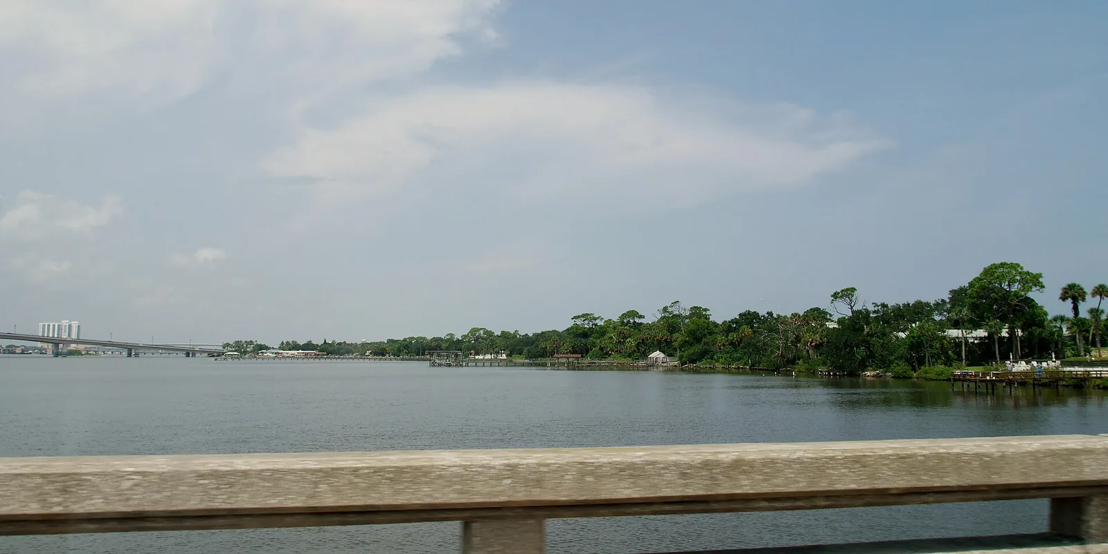
Daytona Beach is split by a river. The Halifax River divides the narrow beachside peninsula, with the oceanfront, the boardwalk and older residential streets, from the much larger mainland, which holds downtown, Midtown, the speedway, the airport and the newer communities west of I-95.
The main roads are International Speedway Boulevard (U.S. 92), which runs east from I-95 and I-4 past the speedway and the airport to the beach; Ridgewood Avenue (U.S. 1) and Nova Road north-south on the mainland; and Atlantic Avenue (State Road A1A) on the beachside. About 79,000 people live in the city, according to the Census Bureau’s 2020-2024 American Community Survey; more on our population page.
What this means for you
- School zones do not follow neighborhood lines. Most of the city is zoned for Mainland High, but the north beachside goes to Seabreeze High, Pelican Bay to Atlantic High in Port Orange and parts of Midtown to Seabreeze or Spruce Creek. Check every address with the district’s school zone information page.
- ZIP codes do not follow city lines. ZIP 32119 is shared with South Daytona, and parts of 32117 are in Holly Hill. Look up whether a parcel is inside the city on the Property Appraiser’s site.
- Typical home values by ZIP ran from $183,961 to $436,178 in August 2026, according to Zillow.
The areas at a glance
| Area | ZIP code | Zoned high school | Typical value in ZIP, August 2026 | Guide |
|---|---|---|---|---|
| Downtown and Ballough Road | 32114 | Mainland | $183,961 | Downtown |
| Midtown | 32114 | Seabreeze (60%), Spruce Creek (39%) | $183,961 | Midtown |
| Madison Heights and Indigo | 32114 | Mainland | $183,961 | Madison Heights |
| Main Street and the boardwalk | 32118 | Mainland | $292,720 | Main Street |
| Seabreeze | 32118 | Mainland | $292,720 | Seabreeze |
| South Atlantic and the South Peninsula | 32118 | Mainland (84%), Atlantic (16%) | $292,720 | South Atlantic |
| Ortona and the north beachside | 32118 | Seabreeze | $292,720 | Ortona |
| Pelican Bay and Beville Road | 32119 | Atlantic | $249,800 | Pelican Bay |
| LPGA Boulevard and the west side | 32124 | Mainland | $436,178 | LPGA |
High school shares are of address points in each area on the Volusia County Schools attendance boundary layers on Oct. 8, 2026. Home values are the Zillow Home Value Index for the whole ZIP code: a modeled typical value for the middle third of homes, not a sale price. The citywide figure was $252,622, down 2.3% in a year; ZIP 32117, the north mainland toward Holly Hill, was $215,734. More in our home prices guide and schools guide.
On the mainland
Downtown and Ballough Road. The city’s government and riverfront core: City Hall, the Riverfront Shops on Beach Street, Halifax Harbor Marina and the South Beach Street Historic District, with Ballough Road running north to the city line. Two of the city’s five redevelopment areas.
Midtown. The city’s geographic center, in the words of its master plan, home to Bethune-Cookman University, two National Register historic districts and most of the stops on the city’s Black Heritage Trail. Its school zones are split three ways.
Madison Heights and Indigo. Subdivisions and apartments west of Clyde Morris Boulevard between Mason Avenue and the Volusia Mall, around the Indigo Lakes golf course. The plan notes the area north of the mall has no public park.
Pelican Bay and Beville Road. The south mainland near the I-95 and I-4 interchange, planned at lower densities, with a South Daytona ZIP code and Port Orange schools.
LPGA Boulevard and the west side. Everything west of I-95, along LPGA Boulevard toward the Tomoka River: the land the city’s plan sets aside for its long-range growth, and the highest typical home value of any city ZIP code.
On the beachside
Main Street and the boardwalk. The oceanfront core around the boardwalk, the Bandshell and the pier, including the Surfside Village area of older homes.
Seabreeze. A National Register and local historic district of older homes between the river and the oceanfront, zoned for Mainland High, not Seabreeze High.
South Atlantic and the South Peninsula. Hotels and condominiums on the ocean, single-family streets along Peninsula Drive, and a plan that rules out new bridges and apartment rezonings on the South Peninsula.
Ortona and the north beachside. North of University Boulevard to the Ormond Beach line, with Seabreeze High, the El Pino Parque Historic District and the city’s last single-family oceanfront zoning.
Comparing the neighbors
For property tax rates, home values, schools and city services in Daytona Beach, Holly Hill, South Daytona and Ormond Beach side by side, see Daytona Beach vs Holly Hill vs South Daytona vs Ormond Beach. Other useful guides: property taxes, getting around, parks and trails and moving to Daytona Beach.
How we built this
The city’s comprehensive plan divides Daytona Beach into 22 lettered planning neighborhoods, A to V, and names five redevelopment areas: Downtown, Ballough Road, Main Street, Midtown and South Atlantic. Each area on this page follows a boundary from the city’s own planning map layers: a redevelopment area, a National Register historic district or a lettered planning neighborhood. Names come from those plans or, for Ortona and Pelican Bay, from OpenStreetMap place names. We left out areas we could not place on a map from a source.
School shares match every point in Volusia County’s address data to the district’s attendance boundary layers. Distances on each area page are measured on the OpenStreetMap road network with the OSRM routing engine, and bus routes come from Votran’s live bus tracker data. Area lines are the City of Daytona Beach’s; place names and store locations are © OpenStreetMap contributors.
Frequently asked questions
What are the neighborhoods in Daytona Beach?
The city’s plans name areas including Downtown, Ballough Road, Midtown, Main Street, Seabreeze, the South Peninsula, Madison Heights, Indigo and Pelican Bay, and OpenStreetMap names Ortona on the north beachside. West of I-95 the city grows along LPGA Boulevard.
What ZIP codes are in Daytona Beach?
Five ZIP codes cover most of the city: 32114 (downtown, Midtown and the central mainland), 32117 (the north mainland), 32118 (the beachside), 32119 (the south mainland, shared with South Daytona) and 32124 (west of I-95).
What high school is my Daytona Beach address zoned for?
Most of the city is zoned for Mainland High, but the north beachside goes to Seabreeze High, Pelican Bay to Atlantic High and parts of Midtown to Seabreeze or Spruce Creek. Check your address with Volusia County Schools.
Where are home values highest in Daytona Beach?
By ZIP code, Zillow’s typical value in August 2026 was highest in 32124, west of I-95, at $436,178, and lowest in 32114, the central mainland, at $183,961.
Have your say