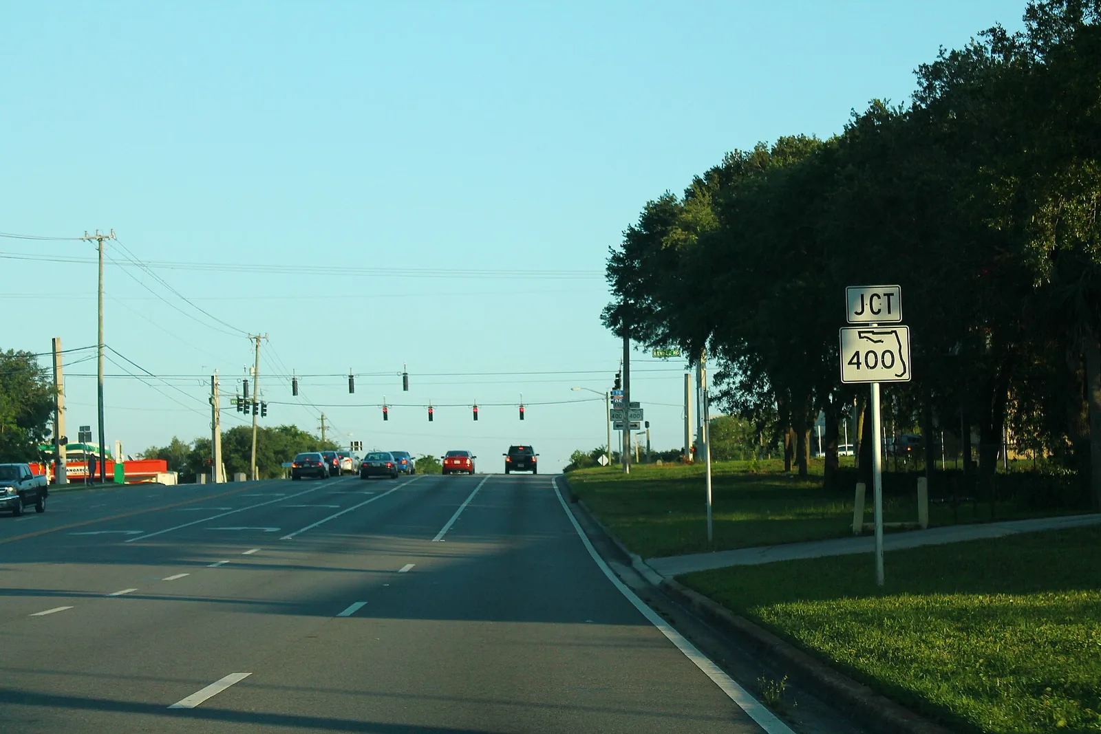
Pelican Bay and the Beville Road corridor are Daytona Beach's south mainland near I-95. ZIP 32119; zoned for Atlantic High; typical value $249,800.
Last checked Oct. 8, 2026. Sources: the City of Daytona Beach 2045 Comprehensive Plan (PDF), its planning map layers and mainland parks pages, Volusia County Schools attendance maps, Zillow Research, Votran and OpenStreetMap.
The south mainland of Daytona Beach, along Beville Road between Clyde Morris Boulevard and I-95, is planned at lower densities than the core of the city, the comprehensive plan says. Its main residential area is Pelican Bay, named both in the plan and in OpenStreetMap. This part of the city is zoned for South Daytona and Port Orange schools.
What this means for you
- Zoned high school: Atlantic High, in Port Orange, for every address.
- Home value: $249,800 in ZIP 32119 in August 2026, according to the Zillow Home Value Index.
- Nearest I-95 exit: 260A, State Road 400 (Beville Road), about 1.2 miles by road.
Part of our Daytona Beach neighborhoods guide.
Where it is
This page follows Neighborhood R on the city’s planning map layers: the city’s south mainland along Beville Road (State Road 400), from about Clyde Morris Boulevard west to I-95, south of the airport. Beville Road, Williamson Boulevard, Clyde Morris Boulevard and Yorktown Boulevard are the main roads.
The city’s comprehensive plan calls “the Beville Road area” “a prime growth area in the City.” It says:
- The Pelican Bay planned residential development “shall not exceed a gross density of 4 dwelling units per acre,” and new development south of Beville Road must consider “the need for preserving and protecting the existing Pelican Bay neighborhood.”
- Neighborhood shops belong at Yorktown Boulevard and Beville Road and inside Pelican Bay, and a neighborhood shopping center may go at Clyde Morris Boulevard and Big Tree Road.
- Beville Road, Clyde Morris Boulevard and Williamson Boulevard are scenic thoroughfares, with 50-foot setbacks on Beville and Williamson and 25 feet on Clyde Morris.
- Land along Beville Road from Williamson Boulevard west to I-95 may be used for interchange commercial, limited to businesses serving travelers; truck stops are prohibited.
- The property known as Walker’s Green, south of Beville Road, is capped at 1,000 homes, with at least half the parcel set aside as natural preservation areas.
Of the 2,402 address points inside the area in Volusia County’s address data, 2,394 are in ZIP code 32119 and eight in 32128. All are inside Daytona Beach city limits, so the city, not South Daytona, provides police, fire and trash service, even though the mailing ZIP code is shared with South Daytona.
Schools
Shares are of the address points in the area that fall in each zone on the district’s attendance boundary map layers, checked Oct. 8, 2026. Grades are the Florida Department of Education’s 2025-26 school grades as reported by Volusia County Schools; look up each school’s state report card.
| Level | School | Share of addresses | 2025-26 grade |
|---|---|---|---|
| High | Atlantic High (zone map) | 100% | A |
| Middle | Silver Sands Middle (zone map) | 100% | B |
| Elementary | South Daytona Elementary (zone map) | 99% | B |
| Elementary | Palm Terrace Elementary (zone map) | 1% | C |
South Daytona Elementary is at 600 Elizabeth Place in South Daytona. Confirm an address on the district’s school zone information page. More in our schools guide.
Home values
The typical home value in ZIP 32119 was $249,800 in August 2026, down 0.5% from $251,043 in August 2025, according to the Zillow Home Value Index. The index is a modeled typical value for the middle third of homes, not a sale price, and Zillow’s 32119 figure covers the whole ZIP code, most of which is the city of South Daytona. The citywide Daytona Beach figure was $252,622, down 2.3%. More in our home prices guide.
Parks and trails
The comprehensive plan says “the developer shall provide a community park in Neighborhood R.” OpenStreetMap shows no named public park inside the area. Nearby, from the city’s mainland parks pages:
- Shangri-La Mini Park, 1647 W. Paradise Lane, with a basketball court and pavilion, to the east.
More in our parks and trails guide.
Getting around
- I-95 and I-4: Exit 260A, State Road 400 (Beville Road), about 1.2 miles by road; Exit 260B leads onto I-4 toward Orlando.
- Downtown: about 5.9 miles from Pelican Bay to City Hall by road.
- Airport: about 3.7 miles to Daytona Beach International Airport and 64 miles to Orlando International Airport. Distances are measured on the OpenStreetMap road network with the OSRM routing engine; they are not drive times.
- Votran: Route 12 (Clyde Morris) stops at the east edge of the area, according to Votran’s live bus tracker data.
Exit numbers follow the I-95 junction data in OpenStreetMap. More in our getting around guide.
Groceries and everyday stores
From OpenStreetMap, at the east end of the area:
- Publix, 1500 Beville Road
- Walgreens, 1420 Beville Road
How we drew this area
The edges are Neighborhood R on the city’s planning map service; the name Pelican Bay comes from the city’s comprehensive plan and OpenStreetMap. School shares come from every Volusia County address point inside it, matched to the district’s attendance boundary layers on Oct. 8, 2026. Store locations are © OpenStreetMap contributors.
Frequently asked questions
What schools is Pelican Bay in Daytona Beach zoned for?
On the Volusia County Schools attendance map, almost every address in this planning neighborhood is zoned for South Daytona Elementary, Silver Sands Middle and Atlantic High. Atlantic earned an A for 2025-26.
Is Pelican Bay in Daytona Beach or South Daytona?
Pelican Bay is inside Daytona Beach city limits, but its mailing ZIP code, 32119, is shared with the city of South Daytona. The city of Daytona Beach provides police, fire and trash service.
What is the typical home value in ZIP 32119?
Zillow put it at $249,800 in August 2026, down 0.5% from a year earlier. The figure covers the whole ZIP code, including South Daytona.
What I-95 exit is closest to Pelican Bay?
Exit 260A, State Road 400 (Beville Road), about 1.2 miles by road, measured on the OpenStreetMap road network.
Have your say