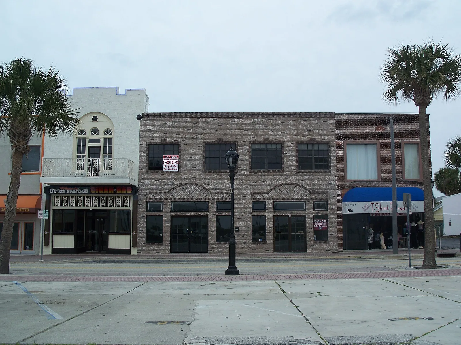
The Main Street area is Daytona Beach's oceanfront core around the boardwalk. ZIP 32118; zoned for Mainland High; typical value $292,720.
Last checked Oct. 8, 2026. Sources: the City of Daytona Beach 2045 Comprehensive Plan (PDF), its redevelopment areas map (PDF), planning map layers and beachside parks pages, Volusia County Schools attendance maps, Zillow Research, Votran and OpenStreetMap.
The Main Street area is the oceanfront heart of the beachside: the boardwalk, the Bandshell, the Main Street Pier, oceanfront hotels and condominiums, and blocks of older houses and small apartment buildings between Atlantic Avenue and the Halifax River. The city plans it as the Main Street Redevelopment Area.
What this means for you
- Zoned high school: Mainland High for every address, across the river on International Speedway Boulevard.
- Home value: $292,720 in ZIP 32118 in August 2026, according to the Zillow Home Value Index.
- Nearest I-95 exit: 260C, U.S. 92 (International Speedway Boulevard), about 6.6 miles by road.
Part of our Daytona Beach neighborhoods guide.
Where it is
On the city’s redevelopment areas map (PDF) and planning map layers, the Main Street Redevelopment Area covers the peninsula from about International Speedway Boulevard north past Main Street and Seabreeze Boulevard, from the ocean to the Halifax River approaches. Atlantic Avenue (State Road A1A), Main Street, Seabreeze Boulevard and Halifax Avenue are the main streets, and the Main Street and Broadway (U.S. 92) bridges link it to the mainland.
The city’s comprehensive plan treats it as the core tourist district. It keeps an incentive to extend the boardwalk with new development, sets a Linear Ocean Park overlay “to encourage connectivity to the Boardwalk,” and describes Surfside Village as “an area containing Daytona Beach’s historic surfside residential community,” where single-family homes are allowed by right and apartments and offices only as conditional uses. The city’s map layers show the Surfside Village and Bandshell and Oceanfront Park Complex National Register districts here.
All 953 address points inside the area in Volusia County’s address data are in ZIP code 32118 and inside city limits, so the city provides police, fire and trash service. For the boardwalk itself, see our boardwalk and Main Street Pier guide.
Schools
Every address point in the area falls in the same three zones on the district’s attendance boundary map layers, checked Oct. 8, 2026. Grades are the Florida Department of Education’s 2025-26 school grades as reported by Volusia County Schools; look up each school’s state report card.
| Level | School | Share of addresses | 2025-26 grade |
|---|---|---|---|
| High | Mainland High (zone map) | 100% | A |
| Middle | Campbell Middle (zone map) | 100% | C |
| Elementary | R.J. Longstreet Elementary (zone map) | 100% | A |
Seabreeze High is on the beachside, but this part of the peninsula is zoned for Mainland High on the mainland. R.J. Longstreet Elementary, at 2745 S. Peninsula Drive, improved from a B to an A for 2025-26, the district said. Confirm an address on the district’s school zone information page. More in our schools guide.
Home values
The typical home value in ZIP 32118 was $292,720 in August 2026, essentially unchanged from $292,550 in August 2025, according to the Zillow Home Value Index. The index is a modeled typical value for the middle third of homes, not a sale price, and it covers the whole beachside ZIP code, from the Main Street area north to Ortona and south to the city line, including oceanfront condominiums. The citywide figure was $252,622, down 2.3%. More in our home prices guide.
Parks and trails
From the city’s beachside parks pages:
- Breakers Oceanfront Park, 13 S. Atlantic Ave., with beach access.
- Ora Street Park, 801 Ora St., directly behind the Bandshell, with a walkover to the beach.
- Oleander Park, 14 S. Oleander Ave., a small, passive park off Main Street.
- Daytona Beach Bandshell and Oceanfront Park, on the boardwalk north of the pier.
More in our parks and trails guide.
Getting around
- I-95: Exit 260C, U.S. 92 (International Speedway Boulevard), about 6.6 miles by road.
- Downtown: about 2.1 miles from Main Street and Atlantic Avenue to City Hall by road.
- Airport: about 7.3 miles to Daytona Beach International Airport and 71 miles to Orlando International Airport. Distances are measured on the OpenStreetMap road network with the OSRM routing engine; they are not drive times.
- Votran: routes 8 (Halifax), 17 (Dunlawton), 19 (Granada) and 19S (A1A North) stop in the area, according to Votran’s live bus tracker data.
Exit numbers follow the I-95 junction data in OpenStreetMap. More in our getting around guide.
Groceries and everyday stores
OpenStreetMap shows no supermarket or pharmacy inside the area. The nearest supermarkets on A1A are:
- Winn-Dixie, 2200 S. Atlantic Ave., about 2.5 miles south by road
- Publix, 2595 N. Atlantic Ave., about 2.8 miles north by road
How we drew this area
The edges are the city’s Main Street Redevelopment Area boundary, from the city’s planning map service. School shares come from every Volusia County address point inside it, matched to the district’s attendance boundary layers on Oct. 8, 2026. Store and park locations are © OpenStreetMap contributors.
Frequently asked questions
What schools serve the Main Street area of Daytona Beach?
Every address in the Main Street Redevelopment Area is zoned for R.J. Longstreet Elementary, Campbell Middle and Mainland High on the Volusia County Schools attendance map. Longstreet and Mainland earned an A for 2025-26.
What ZIP code is Main Street in Daytona Beach?
32118, the beachside ZIP code. Zillow put the typical home value in 32118 at $292,720 in August 2026, essentially unchanged from a year earlier.
Is there a grocery store near the Daytona Beach boardwalk?
OpenStreetMap shows no supermarket inside the Main Street area. The nearest are Winn-Dixie at 2200 S. Atlantic Ave., about 2.5 miles south, and Publix at 2595 N. Atlantic Ave., about 2.8 miles north by road.
What is Surfside Village in Daytona Beach?
The city’s comprehensive plan uses Surfside Village for the area holding Daytona Beach’s historic surfside residential community, inside the Main Street Redevelopment Area. Part of it is a National Register historic district.
Have your say